Water management
We work with nature
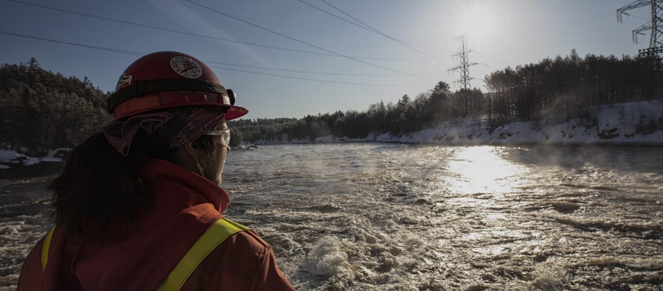
Every year, we work with government agencies, scientists, municipalities and most importantly, nature, to predict conditions and manage our river systems for the safety of people and the environment.
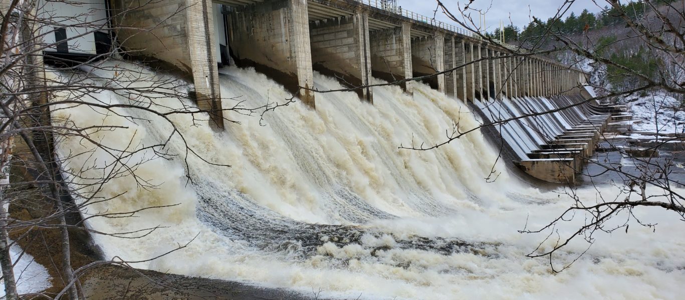
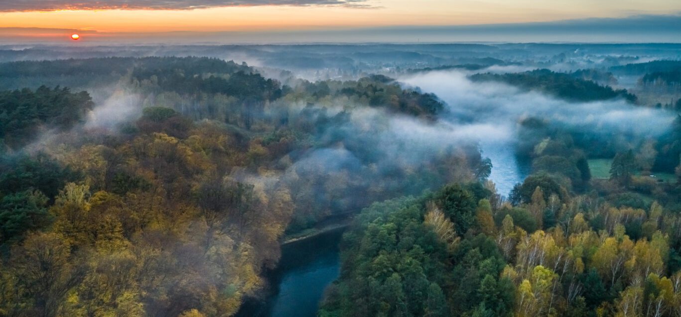
As warmer temperatures set in, Ontario Power Generation's (OPG's) operations staff across the province are already busy managing the impacts of Freshet, the annual spring runoff that occurs when snow melts and spring rains fall.
Freshet is an important but often misunderstood annual phenomenon that affects Ontario's hydroelectric operations and the people who live on or use the affected river systems.
Predicting water levels can be very difficult, and our employees must balance many factors including public safety, limited reservoir storage capacity, environmental stewardship, and local water management plans and agreements, to determine allowable limits for managing the holding or release of water from our many dams on rivers across Ontario.
On large river systems like those in Ontario, spring Freshet can take up to several weeks. Regardless of water levels, please be safe around rivers and dams as water levels can change in an instant. Learn more at opg.com/watersafety
What is Freshet?

Fast facts
0
393390
km2 of land area within OPG's watershed (estimated)
239
dams on 24 river systems across Ontario
0
276
billion m3 in OPG's total storage capacity
0
576
billion m3 of water managed by OPG in 2024

What is nature up to this year?
Ontario's watersheds
Find out what OPG is doing to manage water in each regional watershed.
Eastern Ontario
Our Eastern Ontario regional watershed is home to 15 hydroelectric stations situated on six river systems including the Ottawa, Madawaska, St. Lawrence, Mississippi, Trent and Rideau.
Regional watershed partners
As we work to predict conditions and manage river systems for the safety of people and the environment, we work with many partners and agencies in this region including:
- The Ontario Ministry of Natural Resources and Forestry Services
- Ottawa River Regulation Planning Board
- International Lake Ontario-St Lawrence River Board
- Parks Canada
- Mississippi Valley Conservation Authority
- North Bay-Mattawa Conservation Authority
- Rideau Valley Conservation Authority
- Lower Trent Conservation
- Hydro Quebec
- Public Services and Procurement Canada
- Ministère de l'Environnement et de la Lutte contre les changements climatiques
Challenges
River width and depth
Areas where the river narrows or becomes shallow (e.g., rapids) can cause water to backup upstream of these narrows when water flows are high. High flows at natural river restrictions can require special water management strategies for flood mitigation at nearby dams.
Water management plans
We work with our watershed partners and the Ministry of Natural Resources and Forestry (MNRF) on a balanced approach to water management on the Madawaska River that considers the various interests of many users.
This work produces the Madawaska River Water Management Plan, which includes operational plans for each waterpower facility or dam; provisions for management of water levels and flows; stakeholder communication; and environmental programming.
River system data
Please visit water.opg.com
Public engagement
For more information about our operations, please see the following water management overview presentations and recordings of town hall sessions:
South and Central Ontario
Along with our operations at the Sir Adam Beck Complex on the Niagara River, OPG operates 20 stations in central Ontario including facilities on the Muskoka, Severn, Beaver, and Musquash rivers.
Regional watershed partners
As we work to predict conditions and manage river systems for the safety of people and the environment, we work with many partners and agencies in this region including:
- The Ontario Ministry of Natural Resources and Forestry Services
- Otonabee Conservation
- Parks Canada (for Big Chute Generating Station)
- Trent Severn Waterway (for Big Chute Generating Station)
- Grey Sauble Conservation Authority (for Eugenia Generating Station)
Challenges
Limited water storage capacity
Our generating stations on the Muskoka River are considered "run-of-the-river" as they have a limited water storage capability and limited ability to influence river flows. We operate these facilities in coordination with operations at the MNRF controlled structure to manage appropriate flow conditions. Existing structures have specific limits in terms of flow passage and water retention capability.
Natural river geography
The Muskoka River System at Bala poses a challenge due to a particular river constriction. The river has but a single outlet for the upper two thirds of the entire Muskoka Watershed. As flows increase, the levels increase naturally due to the restriction along the Bala Reach (Moon Chutes). The Moon River from Bala diverges into the Moon and Musquash rivers. Our Ragged Rapids and Big Eddy stations are located on the Musquash River. As flows increase at Bala, it becomes difficult to pull water down the Musquash River, which leads to lower water levels in the Upper Musquash.
The Eugenia GS is fed from Lake Eugenia Reservoir, which is managed to an annual winter drawdown, and spring fill-up plan. Many factors are reviewed to determine the yearly plan such as snow pack, site conditions, and weather forecast.
Water management plans
We work with local waterpower companies and the Ministry of Natural Resources on a balanced approach to water management on the Muskoka River that considers the various interests of many users.
This work produces the Muskoka River Water Management Plan, which prescribes the compliance water levels and flows for our generating stations operating in the Muskoka watershed.
River system data
Please visit water.opg.com
Northeastern Ontario
Our Northeast Operations (NEO) involve a region approximately 100,000 km2, stretching from North of Kapuskasing to south of North Bay. NEO has 21 generating stations and 22 control dams across seven river systems include the Mattagami, Abitibi, Montreal, Matabitchuan, South, Sturgeon, and Wanapitei rivers. We operate in many site communities including Smooth Rock Falls, Timmins, Dymond, North Bay and Sudbury.
Regional watershed partners
As we work to predict conditions and manage river systems for the safety of people and the environment, we work with many partners and agencies in this region including:
- The Ontario Ministry of Natural Resources and Forestry Services
- Public Services & Procurement Canada (PSPC)
- H20 Power
- Liberty Power
- Private dam operators across the water systems
- Local conservation authorities
Challenges
The water management planning process and strategies for water management takes into account many factors including:
- Natural geographic restrictions
- Community-specific requirements (e.g., notifications when water levels may impact water tanks or other facilities)
- Interests of residents and stakeholders both up and downstream of our facilities
We do our best to share information and decisions openly.
Water management plans
During freshet, communication with our regional partners is open and frequent to ensure all operators collaborate to maintain water levels and flows, mitigate flooding, and adhere to Water Management Plans implemented by the regulator.
River system data
Please visit water.opg.com
Public engagement
OPG's Stakeholder Relations and Water Management teams meet with various groups leading up to and through freshet to ensure an understanding of our operations and potential impacts of weather conditions. Those groups include:
- municipal leadership (mayors and councils);
- special interest groups (cottage associations, hunting and fishing groups, recreationalists, etc.); and
- Standing Advisory Committees with representation from municipalities, Indigenous communities and members of the public.
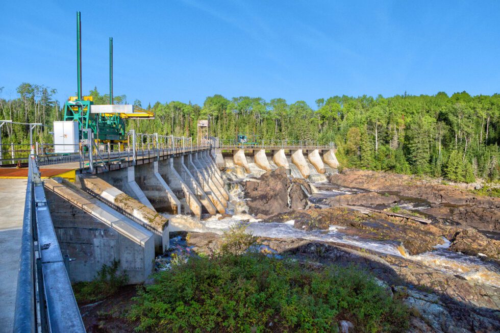
Northwestern Ontario
Our Northwest Operations has 11 hydroelectric stations that provide a clean, low-cost, renewable and reliable source of power to Ontarians year-round. The stations are fully automated and controlled remotely from our Northwest Control Centre in Thunder Bay.
The river systems in this region involve the Aguasabon, Nipigon, Kaministiquia, English and Winnipeg rivers.
Regional watershed partners
As we work to predict conditions and manage river systems for the safety of people and the environment, we work with many partners and agencies in this region including:
Water management plans
Our operations follow established water management plans to manage water levels and flows while balancing environmental, social and economic objectives, and various interests within the watershed.
The Aguasabon, Nipigon and Kaministiquia river systems in this region have water management plans regulated by the MNRF. We developed these plans in consultation with MNRF, stakeholders and the public.
The English and Winnipeg River systems are regulated by the Lake of the Woods Control Board.
River system data
Please visit water.opg.com
Public engagement
For those in the region unable to attend our recent live telephone town hall session, you can find a recording here:
- Northwest Operations session - April 9, 2025 (webinar recording)
- Northwest Operations session - April 17, 2024 (webinar recording)
- Northwest Operations session - April 14, 2020 (audio recording)
More info including flood warnings and emergency management
Flood warning and emergency management are the responsibility of the Province of Ontario and local municipal authorities. To get updates about flood warnings and watershed conditions, visit the Ontario Flood Map or your local conservation authority's website.
How we prepare for high water season
What about climate change?
The physical effects of climate change are noticeable across Ontario. Operating a fleet of 66 hydroelectric generating stations and 239 dams across the Province, we're acutely aware of the potential for climate change to impact our facilities and their operations. Despite these impacts, we have an ongoing commitment to manage our rivers systems for the safety of people and the environment.
For more than a decade, we've been studying the impacts of climate change on the spring Freshet and water availability on a year-by-year basis. With our partners at the Ouranos Consortium on Regional Climatology and Adaptation to Climate Change, we explore challenging questions to help us learn how to mitigate potential climate change impacts on the safe operation of our facilities, and to understand changes in operations that may result from climate change.
Our findings align with Canada's Changing Climate Report on how climate change will alter the spring Freshet in Ontario, including earlier peak spring water flows and higher winter water flows. We've recorded overall warming trends and anticipate increased precipitation in the years ahead. We expect the greatest precipitation increases during the winter and spring months, although we also expect more frequent and earlier melting.
We will continue to access world-class expertise to help us understand and adapt to the impacts of climate change during Freshet and year-round, and we'll continue to engage communities, stakeholders, and regulators to develop local operational solutions to Freshet changes. Our safe and flexible dams provide options for Ontario to resist the impacts of climate change.